A Great Road Trip
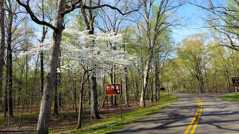
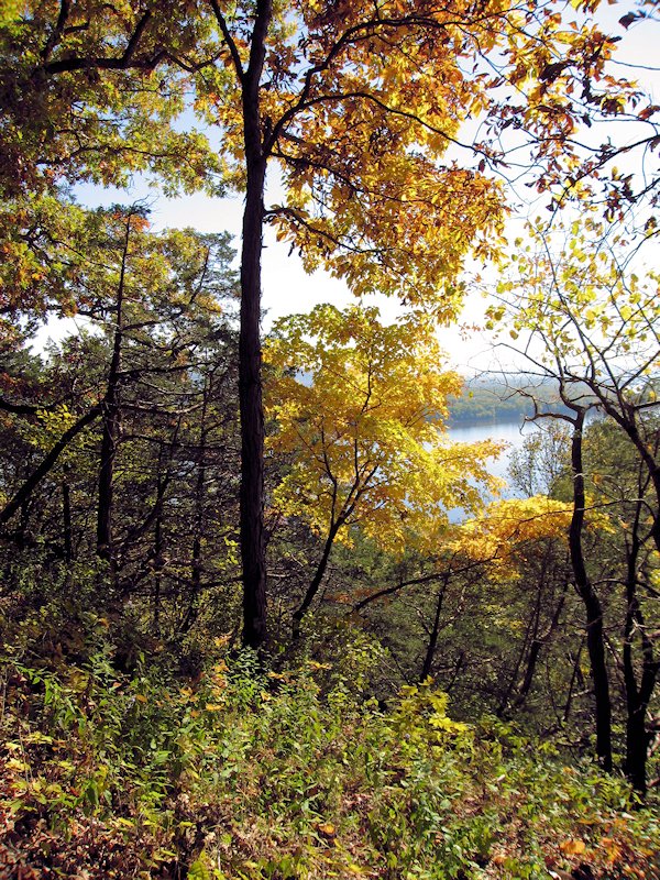
One of the most scenic and stress free road trips you can take. In the Spring you can catch the blooming Red Buds, Dogwoods, and wildflowers. In the fall beautiful colors as the leaves are changing.
The Natchez Trace Parkway begins north of the city of Natchez (see our article on Visiting historic Natchez, Mississippi), the oldest town on the Mississippi River and the southern terminus of the historic Natchez Trace. The parkway runs 444 miles, through three States, ending south of Nashville, Tennessee.
There are some interesting small towns along the route and hundreds of wayside stops with some sort of scenic or historical interest along the Parkway. Rated by Mike and Jen of RVlifestyle.com as their favorite RV road trip in the US. We agree and highlight below some of our favorite points of interest along the Trace.
Our Favorite Points of Interest Along the Natchez Trace:
Mount Locust, Milepost 15.5
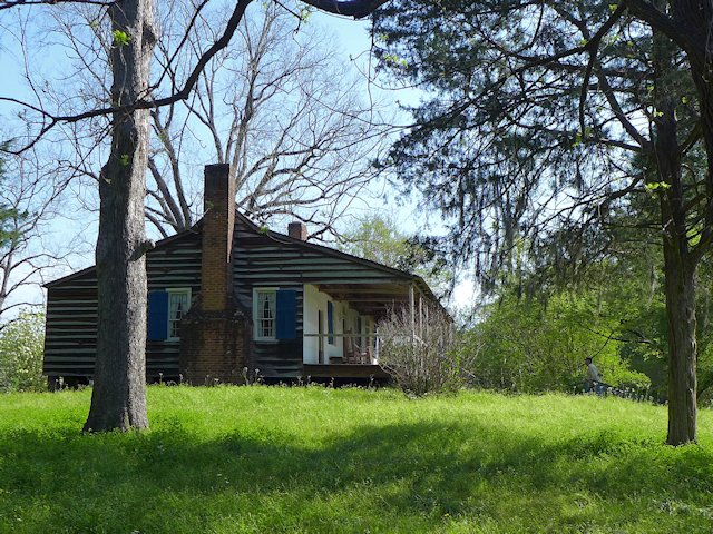
Traveling north from Natchez, one of the first stops you should make along the Trace is at Mount Locust, milepost 15.5. Back in the day, this was Day 1 on the Boatman’s trip back to the Ohio Valley. The stand was originally constructed as a farm homestead in 1780. But being in the right place at the right time encouraged later owners, the William Ferguson family, to open up a crude inn to serve the growing number of travelers. Eventually an annex was constructed to better meet the need. The Inn has been restored and is open for daily tours from February through November. See link to Mt. Locust Brochure.
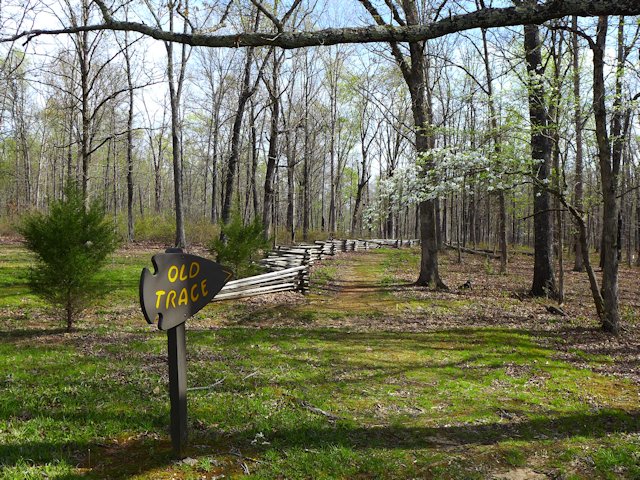
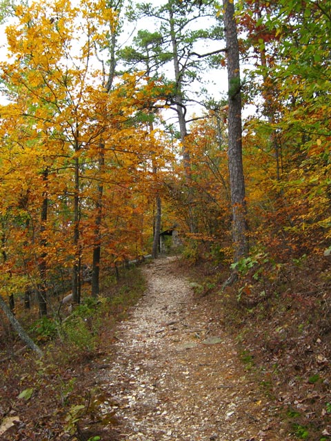
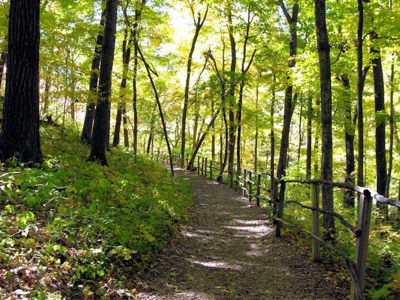
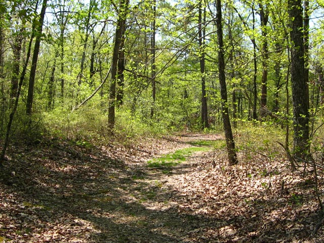
Sunken Trace, Milepost 41.5 – At several points along the parkway the “old Trace” intersects with or comes close to the Parkway. At mile marker 41.5 is one of many rest stops where you can walk to and through a portion of the original Trace.
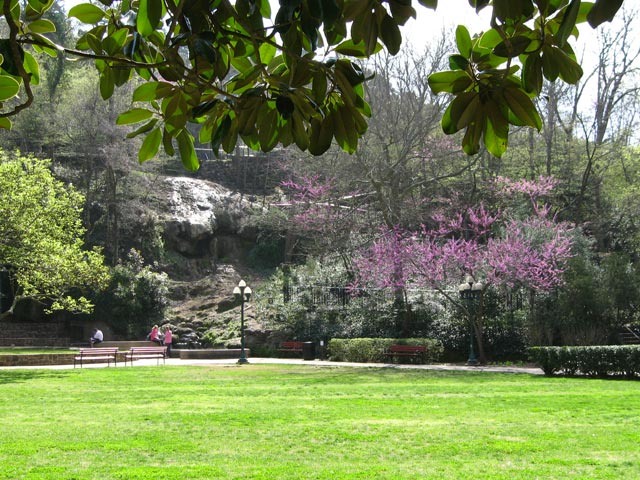
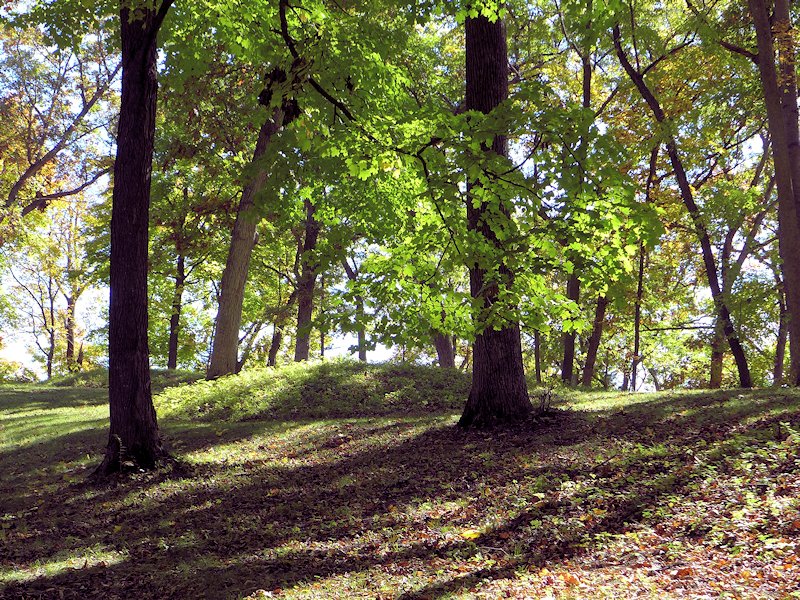
Rocky Springs, Milepost 54.8 – The former community of Rocky Springs is now a park, picnic site and rustic campground. A self-guided trail leads to the location of the former village and to the graveyard and old church that are all that remain of a village that once held over 2000 souls. Map of Rocky Springs Campground & Historical Site
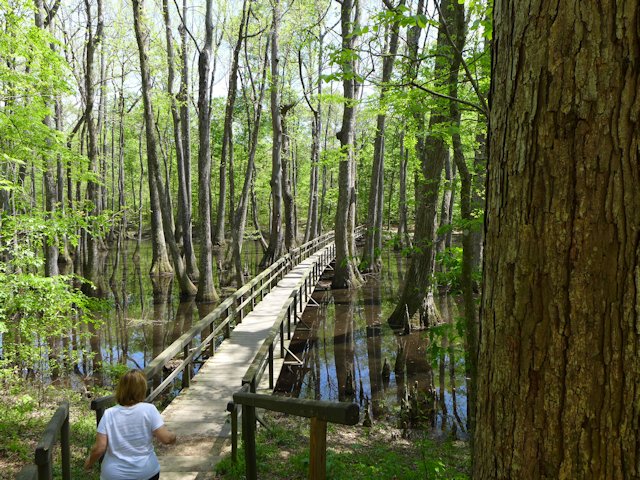
Cypress Swamp, Milepost 122.0 – At mile marker 122 you’ll have an opportunity to stretch your legs with a half-mile loop annotated nature trail through a Cypress and Water Tupelo Swamp. We saw a baby alligator sunning itself on a little island in the swamp pond.
Holly Hill Rest Stop, Mile Marker 154.3 – One of 44 picnic areas along the Trace. There is picnic tables and accessible rest rooms.
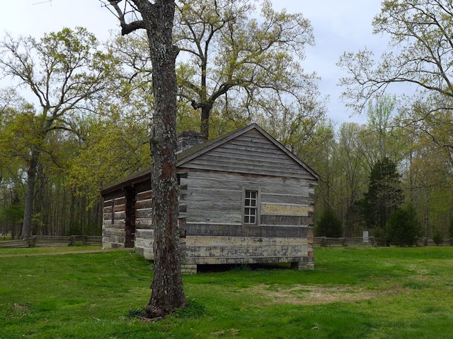
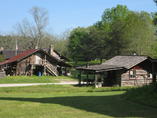
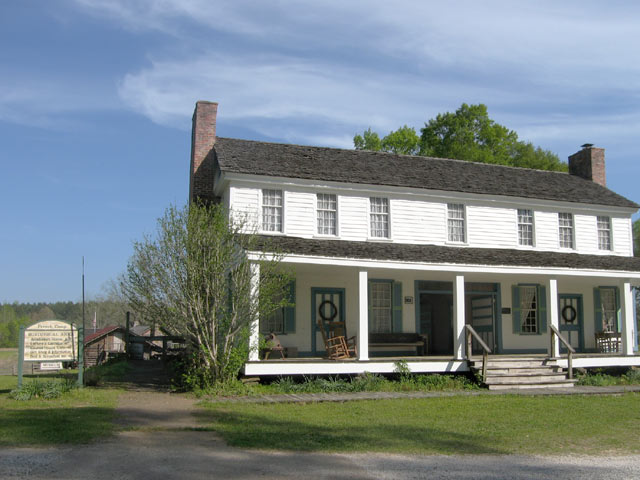
French Camp, Milepost 180.7 – A “stand” (inn) was established here in 1812 serving travelers along the Trace. Later in 1822 it added a school, which exists to this day. Included in the restored complex, joined by a boardwalk, are a cafe, gift shop, visitor center, log cabin, crafts center, and sorghum making center. An interesting historical stop, an opportunity to stretch your legs, and get a bite to eat.
Link to Historic French Camp Village website
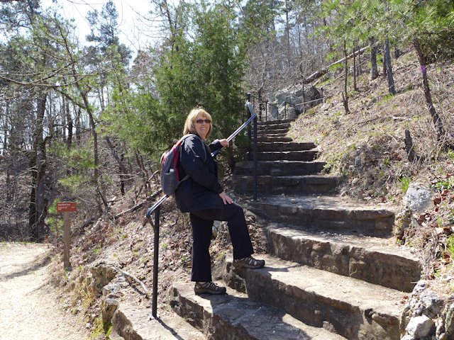
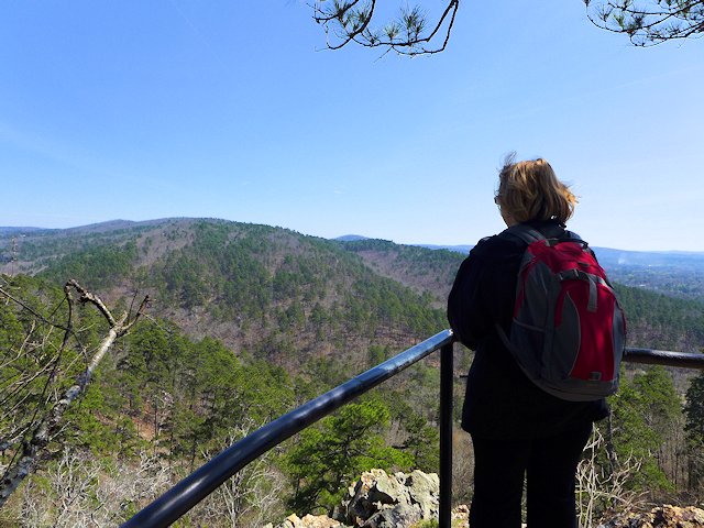
Jeff Busby Park, Milepost 193.1 – Named for Mississippi Congressman Thomas Jefferson Busby (whose bill created the Parkway), the park has a visitor exhibit area, a nice picnic area with tables, grills, and parking, a 22 site campground, restrooms, hiking trails, and a mountain top overlook that is one of the highest points in Mississippi.
Jeff Busby Campground & Picnic Area Map – Jeff-Busby-map
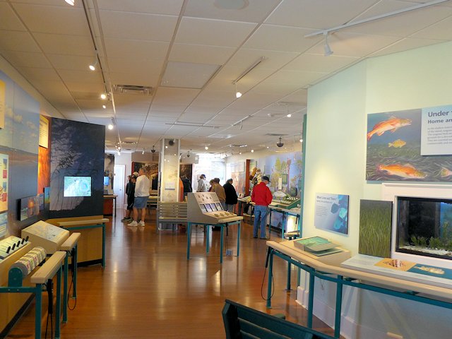
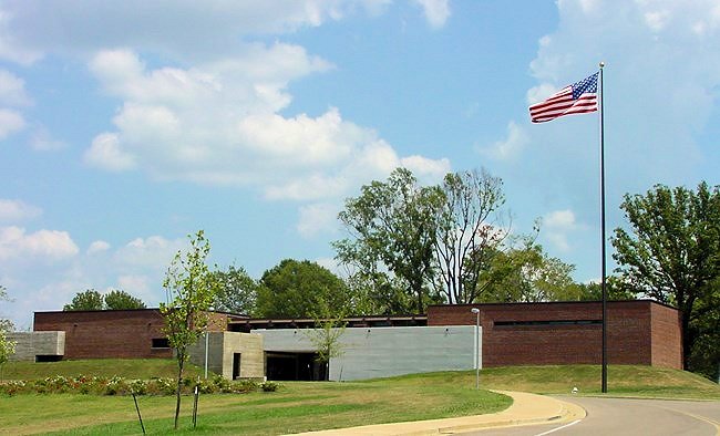
Natchez Trace Parkway Visitor Center, Tupelo, Mississippi, Milepost 266.0
The Natchez Trace Parkway Visitor Center has a twelve-minute orientation film, interpretive displays about the natural and cultural history of the Natchez Trace, as well as an Eastern National Bookstore. A park ranger is available from 8:00 am to 5:00 pm daily (except Christmas Day) to answer any questions you may have. This is also the location to get your passport stamps for the Natchez Trace Parkway, Natchez Trace National Scenic Trail, Tupelo National Battlefield, and Brices Cross Roads National Battlefield.
Visitor Center Events Calendar
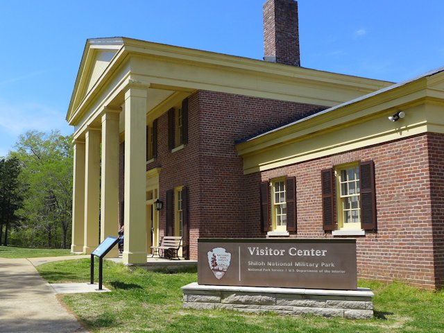
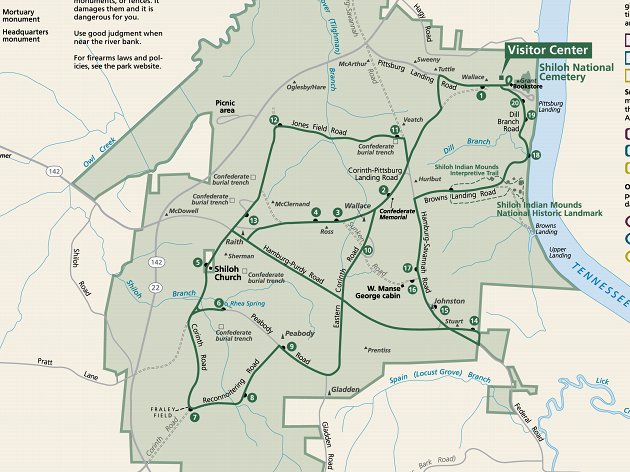
Visit the Shiloh National Military Park
Exit at Mile Marker 293
Visitor Centers at Corinth &
Shiloh Battlefield
Detour – As of April 4, 2022 a section of the Trace between mile markers 293 and 321
remains closed for repairs. Here is the detour route.
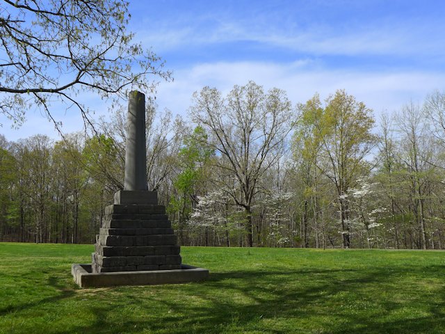
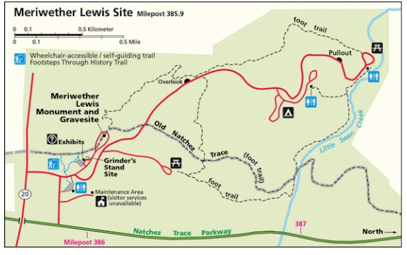
Meriwether Lewis Site Milepost 385.9
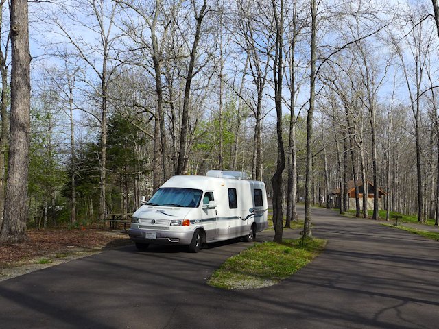
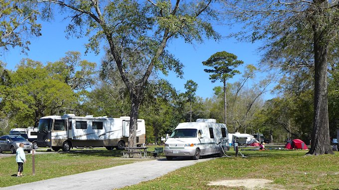
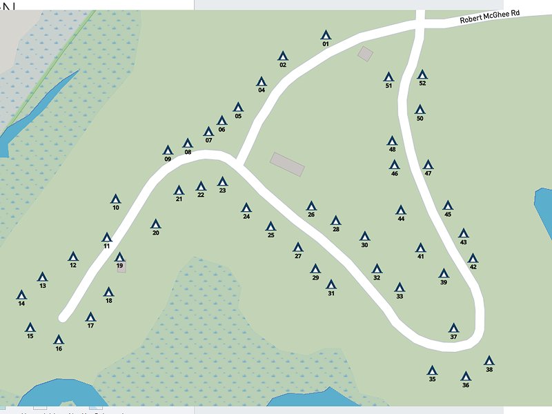
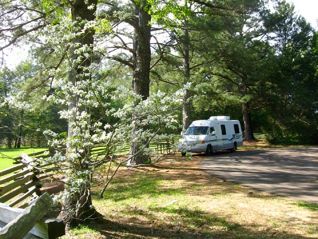
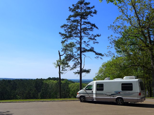
This is the largest and most impressive of the 3 campground-parks actually on the Trace. It site has a campground, modern washrooms, picnic areas, some decent hiking trails, and a historical exhibit on famed explorer Meriwether Lewis, including a monument erected at the site of his burial and a replication of the Grinder House, the “Stand” where Lewis stayed over-night on his way back East and mysteriously died of gunshot wounds in the middle of the night. Exhibits tell the story of that evening, plus other significant aspects of Lewis’ history.
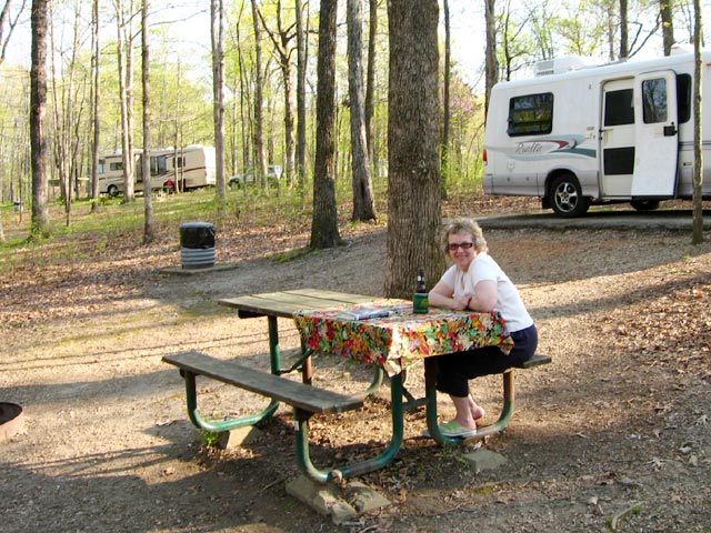
While the campground has no utilities it has paved and reasonably level parking areas for RVs. Each wooded site has a picnic table, a fire pit, trash bin, and nice separation from adjacent sites. Like all the National Forest Campgrounds along the trace, it is first come, first serve for campsites so best to get there early in the afternoon or it will be full.
See more photos and info on things to do and see at Meriwether Lewis Park and Campground here.
Camping Along the Natchez Trace
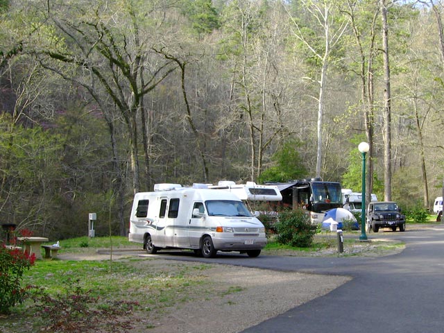
The National Park maintains three improved campgrounds along the Trace (all of which were profiled above): Rocky Springs, Jeff Busby, and Meriwether Lewis. In addition there are several rustic campgrounds reserved for bikers or hikers. Within a few miles of the Trace are both private and public campgrounds with utilities for RVs. This page has links to State Parks convenient to the Trace.
More Natchez Trace Links & Publications
- Natchez Trace Parkway – National Park Website
- Explore the Natchez Trace Communities
- The Natchez Trace: A Pictorial History

- Guide to the Natchez Trace Parkway
- Bicycling the Natchez Trace: A Guide to the Natchez Trace Parkway and Nearby Scenic Routes
- Lewis Site Campground & Hiking Trails Map
National Parks Directory – ScenicPathways
Natchez Trace Articles on Scenic Pathways