Affordable Vacation Beach Town
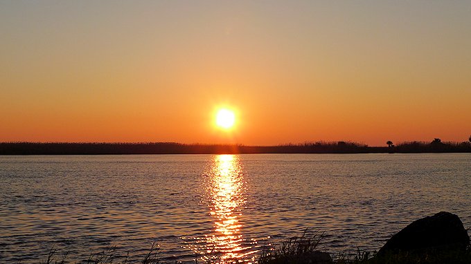
Whether RVing or Vacationing, are you looking to escape to get away from the madness of South Florida? Consider Scenic Cedar Key. It is a slow-pace Gulf Beach Town Gem along the Hidden Coast, with lots of fun and interesting things to do and places to see. Read On.
Although impacted by Hurricane Idalia, Cedar Key is quickly returning and open for business. With the help of hundreds of volunteers, the majority of the shops and restaurants have re-opened.
Top Ten Small Town Culture & Affordable Gulf Vacation Beach Town
Located on what is known as Florida’s Hidden Gulf Coast, the island city of Cedar Key has managed to retain its small town feel while providing a very hospitable vacation experience for visitors. USA Today ranks it in the best Top Ten Small Town culture scenes, # 6 in the nation and #1 in Florida. And UpGradedPoints rates Cedar Keys as the USA least expensive Vacation Beach Town.
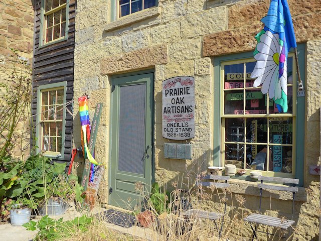
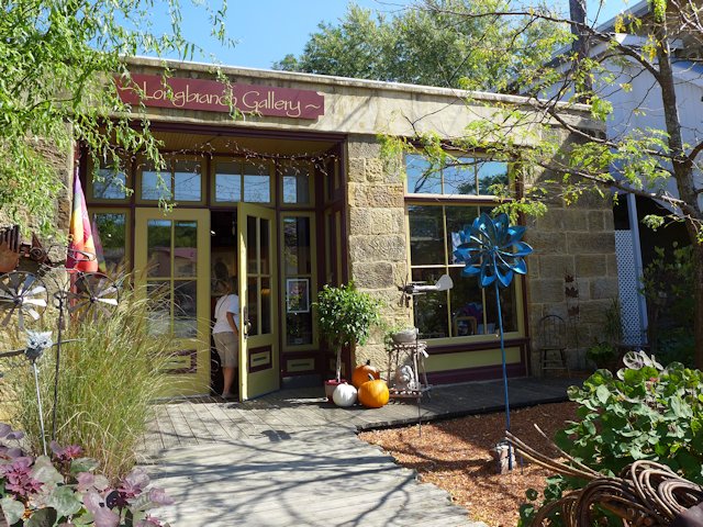
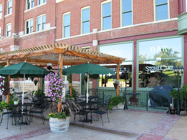
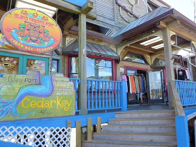
Cedar Key has lots of neat shops and galleries, some great restaurants serving up some great seafood, top notch kayaking and paddle-boarding, island tours boat trips, charter fishing, sunning and swimming at the spacious Cedar Key Beach & city park, some interesting hiking trails, and just plain fun hanging out in a friendly island community.
RVers Note: There are several RV campgrounds in and near Cedar Key and several choices in nearby Chiefland, Florida. We profile these camping options lower down this page, with descriptions and links.
Top Things to Do and See in Cedar Key, Florida
See our list of Top 10 Things to Do, Places to see in Cedar Key, Florida
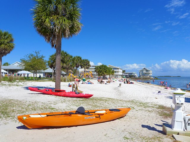
Kayaks, Swimming, Sunbathing, Picnicing at the City Beach and Park
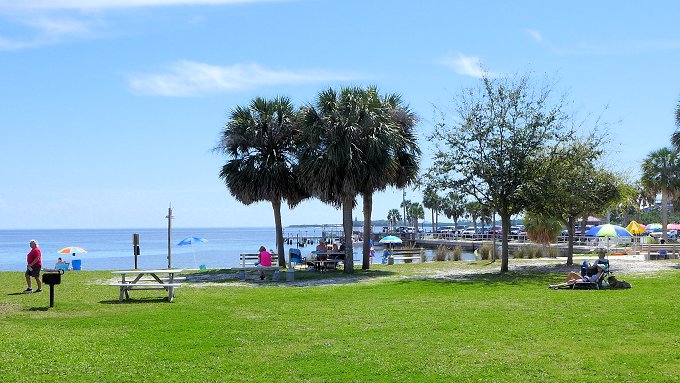
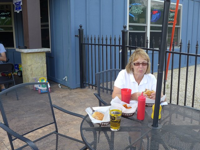
There is a decent city swimming and sunbathing beach adjacent to the city park that has picnic tables, a playground area, a pavilion, and a bath house. Nearby, within walking distance of the beach are several good restaurants and raw bars offering fresh seafood, some of which is locally caught.
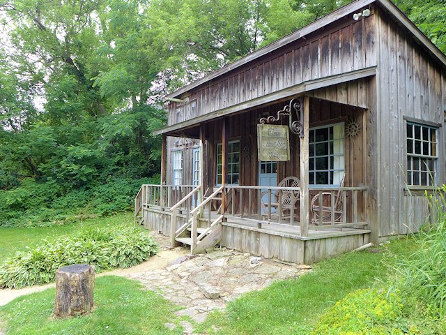
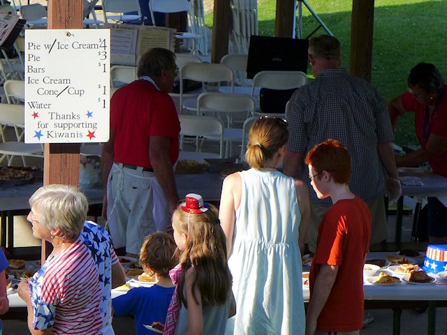
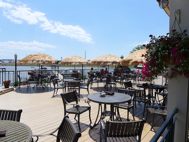
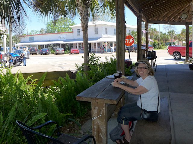
Cedar Key Dining and Entertaining
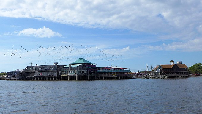
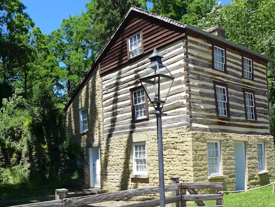
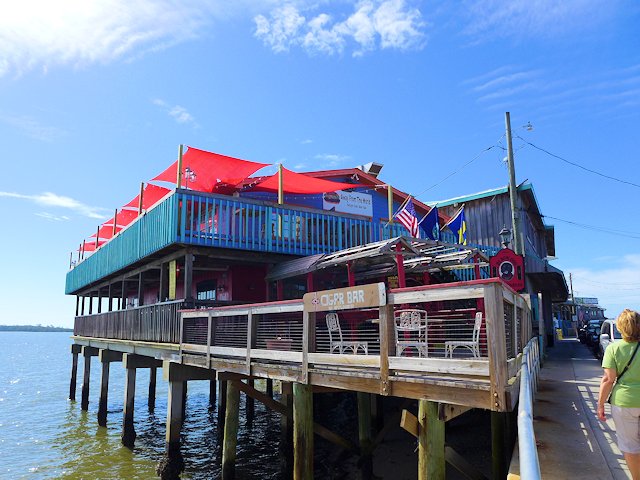
Most of the bars, restaurants, and boutiques are located along Dock Street which runs down the center of a narrow hook-shaped peninsula that juts out into the Gulf and Suwanee Sound. The buildings on the Gulf side of the street are built on stilts and actually sit out in the water.
See our reviews of Best Restaurants and Places to Eat in Cedar Key
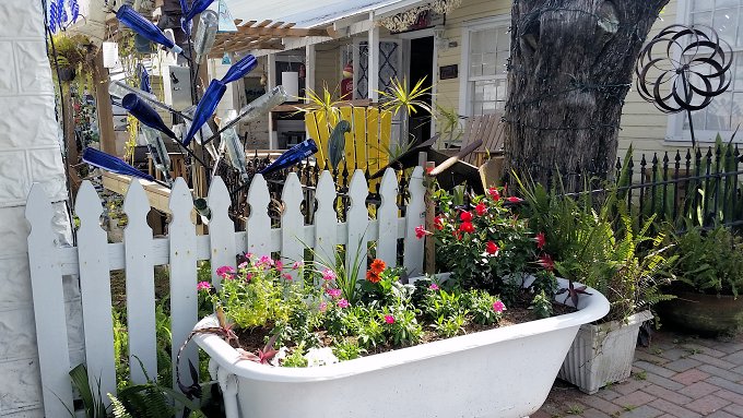
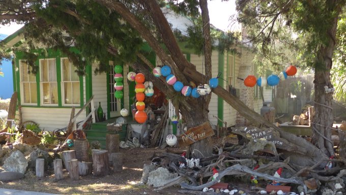
Walking Around Downtown Cedar Key

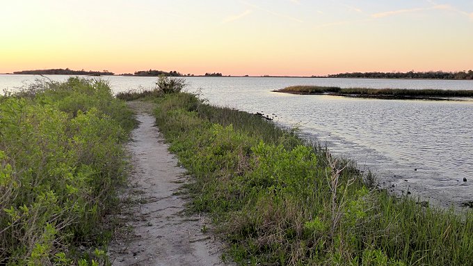
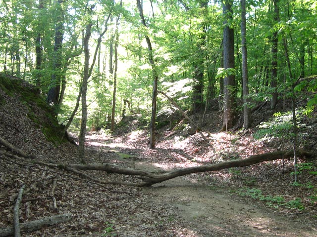
Away from downtown, there are some interesting walks along the Cemetery Point Trail and the Trestle Nature Trail (see them here)
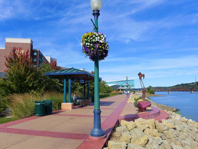
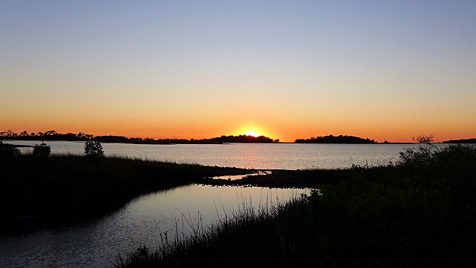
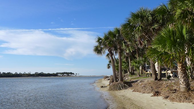
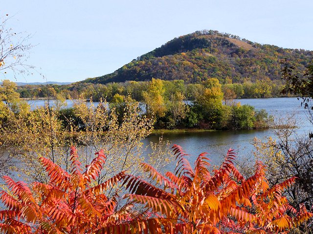
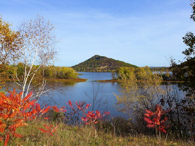
While the town of Cedar Key is situated on about 6 islands, the Cedar Keys Wildlife Refuge that surrounds the town of Cedar Key has thirteen named islands, plus perhaps hundred more islands too small to have a name encircle the town. The many islands of the Cedar Keys Wildlife Refuge provide great shelter for kayaking and canoeing and also a chance to see dolphins, birds, and other wildlife or do some fishing.
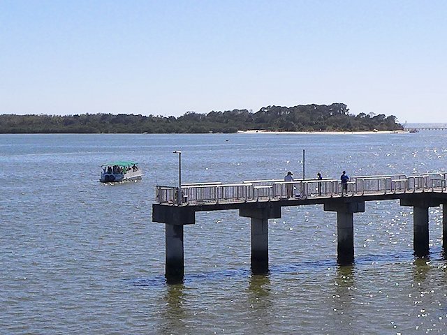
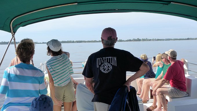
The Island Tours Boat Rides offers an interesting narrated tour of a few of the islands in the Keys. Seeing some dolphins is just about a guarantee as they seem to be attracted to the boat, as if they were hired performers!
See our list of Top 10 Things to Do, Places to see in Cedar Key, Florida
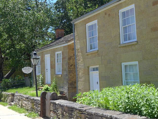
Lodging in Cedar Keys
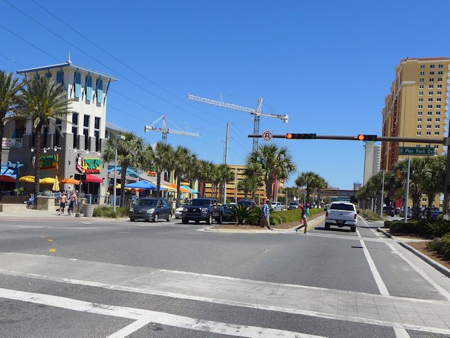
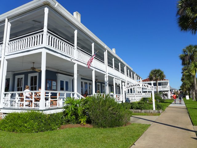
The town has a very hospitable beach resort community that is more laid-back and has far less commercial glitz than you’d find in Destin or Panama City Beach. There’s no high-rise resort buildings or huge apartment complexes. There are a few medium-size ocean-side condos and hotels, but a good deal of the lodging for visitors is provided in quaint cottages and mom & pop style motels.
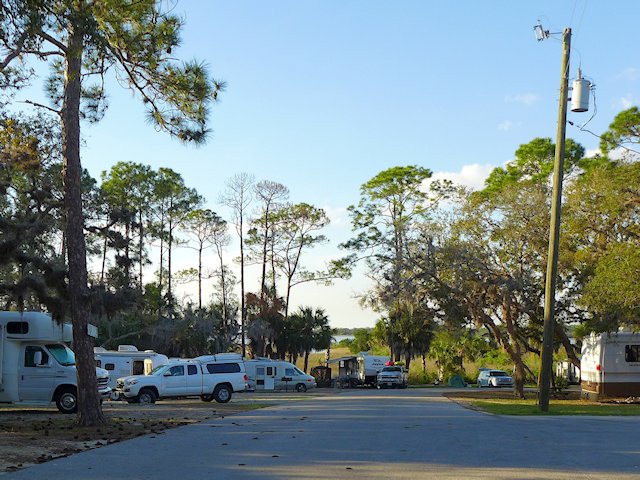
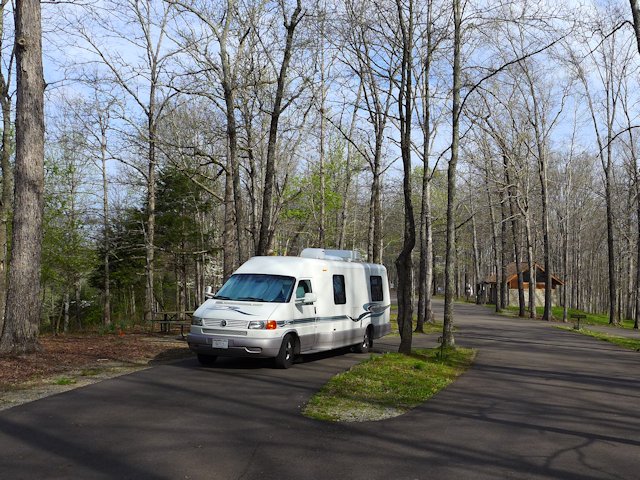
Camping, Campgrounds, RV Parks Cedar Key, Florida
There are three private RV parks/campgrounds located within Cedar Key or within 5 miles of the center of town. As you might expect, you pay a premium to be located in or close to town. We drove through two of these three parks and found the sites too cramped together for our tastes.
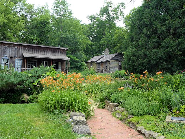
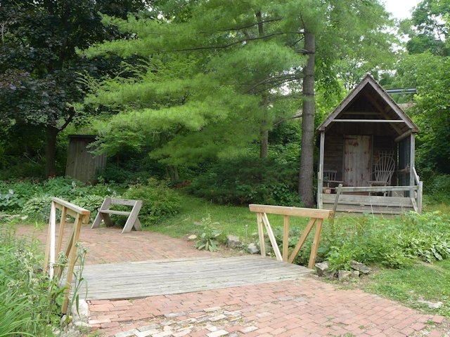
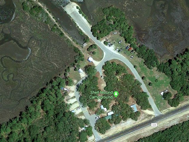
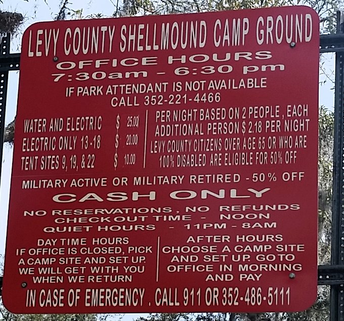
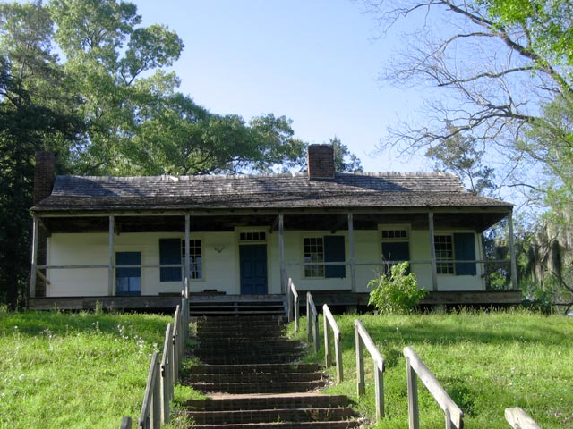
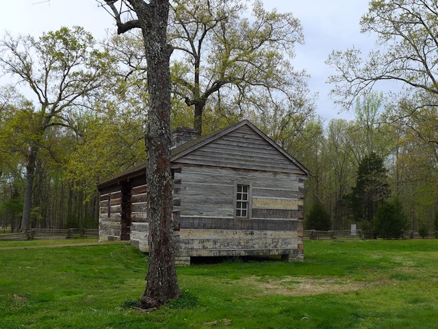
Our favorite Cedar Keys RV Campground is a few miles out of town at the North end of the Keys Wildlife Refuge, Shell Mound County Park. The park offers both RV and Tent Camping and the nearby nature trails provide some interesting hiking and bird-watching.
**Shell Mound County Park Campground (see our review and article)
The nearby Cedar Keys Nature area offers a boardwalk, a fishing pier and a canoe/kayak landing. We camped at the County RV park and found the camp hosts very friendly and helpful. The RV sites offer water and electricity; the bath houses have running water and showers; and the campsite fees were quite reasonable. The campground is first come, first served – no reservations.
Can’t Find Campground Vacancies in or near Cedar Keys?
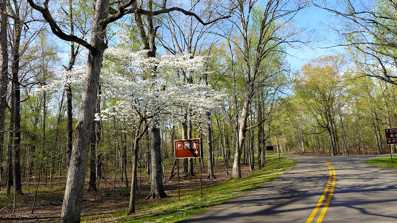
If you are willing to drive about 30 miles, there are several good RV camping options in Chiefland (see our reviews). One that we like is Manatee Springs State Park. The state park offers very nice RV sites, good spacing, nice shading, 8 miles of hiking trails, kayaking, biking, and swimming/snorkeling in the spring pool. And the rates are quite a bit less than the private parks nearer to town.
Another decent RV campground for visiting Cedar Keys area is Strawberry Fields RV Campground
Beside being able to get a reasonable campsite somewhat near Cedar Key, another reason we like to RV camp in Chiefland is the Chiefland Golf Course, only about a mile from Manatee Springs. We found it a nicely, maintained 18 hole golf course, with a friendly staff, and modestly priced green fees. It is also a very walk-able course.
More Places to Visit and Things to around Cedar Keys:
- Top Cedar Key Visitor Attractions
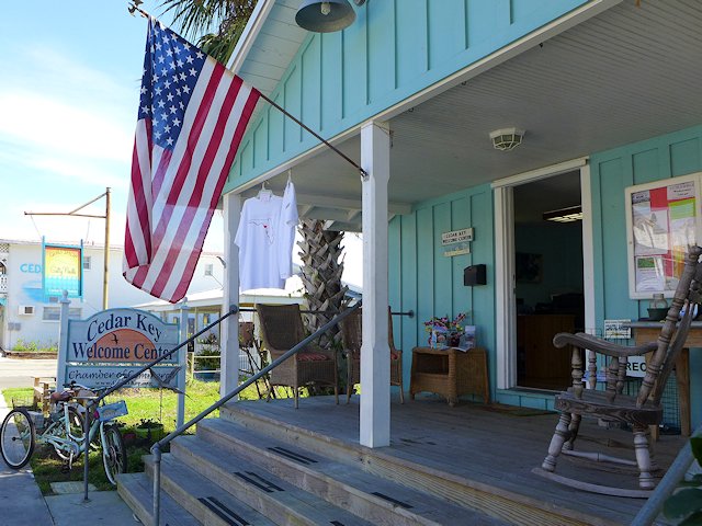
- Cedar Key Welcome Center
- Cedar Key News
- Cedar Key Historical Society Museum
- RV PARKS, CAMPING & HIKING
Hiking and Nature Trails in and around Cedar Keys
RV Campground Review: Manatee Springs State Park
RV Campground Review: Shell Mound Park and Natural Area
RV Campground Review: Strawberry Fields RV Park
Lower Suwanee Wildlife Refuge - RESTAURANTS, CAFES, PUBS
Some Our favorites
Restaurant Review: Steamers Clam Bar & Grill
Restaurant Review of Annie’s Cafe
Restaurant Review: Tony’s Seafood Restaurant
Daily Grind Cafe Review
Top 10 Best Places to Eat in Cedar Key Florida - GOLFING
Review: Chiefland Golf Course - SCENIC DRIVES
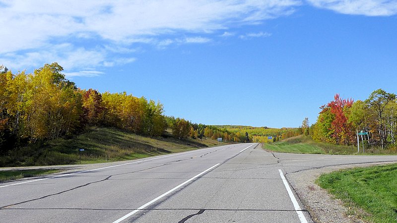
Florida Gulf Scenic Drive – Grayton Beach to Apalachicola
Gulf Highway 98 Apalachicola to Cedar Key – The Hidden Coast - LODGING
Cedar Key Motels, Hotels, B&Bs, Cottages - BOAT, BIKE AND CART RENTALS
Tidewater Tours & Boat Rentals
Golf Cart Rentals
Canoes and Kayaks
Charter Boat Fishing
Have you been to Cedar Key Florida? If so tell us how you liked it in the comments below.
Your Scenic Travel Guide: Ross Reinhold