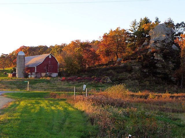
Mineral Point is one of our favorite towns in the Driftless area and in Wisconsin’s Cheese Country.
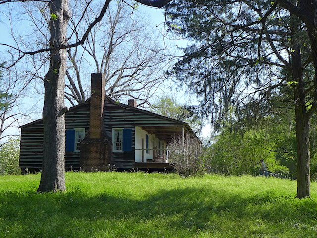
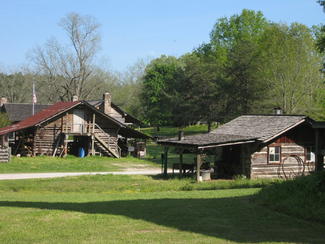
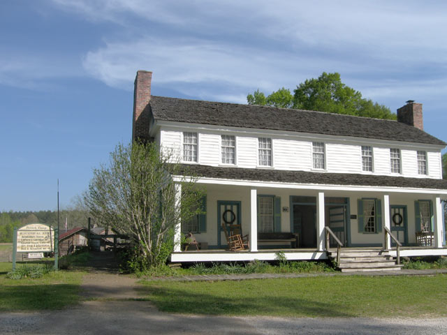
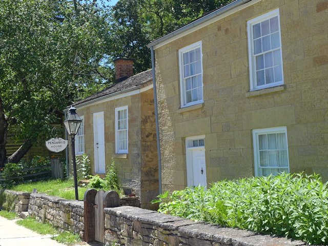
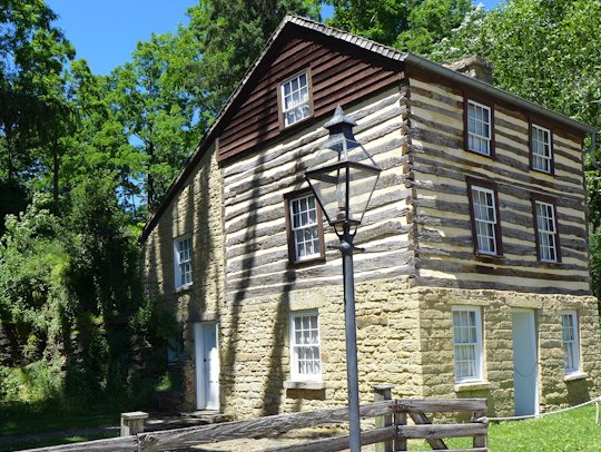
Settled in 1827, Mineral Point was prominent in the creation of the Wisconsin Territory, serving as the host town for the July 4, 1836 inauguration of the first territorial governor, Henry Dodge. As the center of the evolving lead mining industry, Mineral Point grew quickly and drew immigrants from Cornwall England an area with a rich mining history. By 1850 the majority of the residents of Mineral Point had Cornish ancestry. The Pendarvis Settlement, a Wisconsin Historic Site, preserves some of the early structures and relates the history of Cornish settlements and mining in Mineral Point. Many other Mineral Point buildings from its early history have been restored and are found along Commerce Street, High Street, and ShakeRag Street.
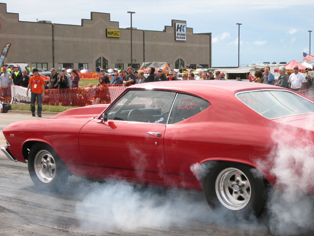
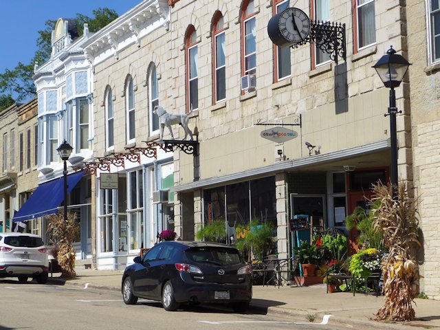
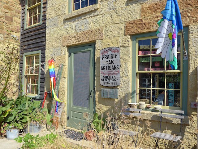
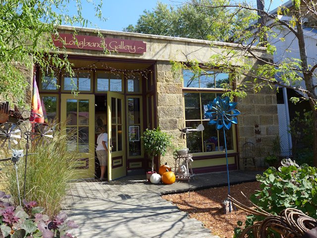
Today Mineral Point is a center of artists, artisans, unique restaurants, galleries and boutiques. There is about 25 galleries and studios of sculptors, fiber arts artisans, woodworkers, potters, glass workers, painters, etc. The town hosts several annual events including a 4th of July Festival (always held on the actual 4th), the Mineral Point Car Show, the Fall Art Tour, and the annual Cornish Festival. Mineral Point is also home to Hooks Cheese, producers of over 50 varieties of award-winning cheese.
A few highlights around Mineral Point
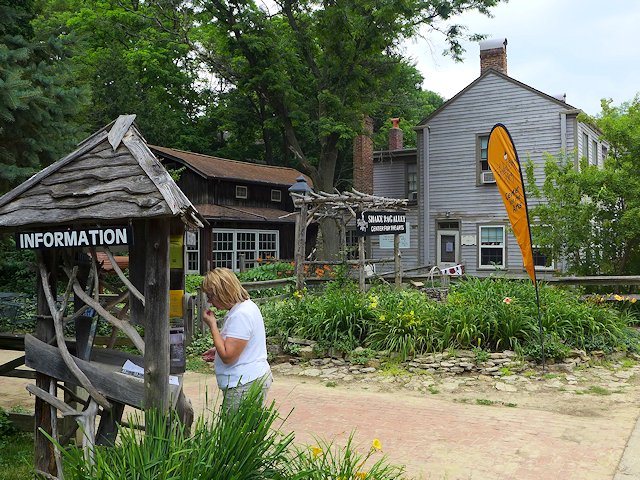
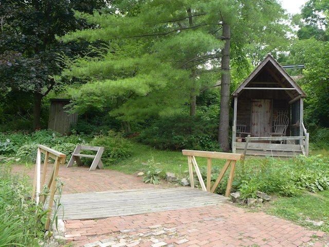
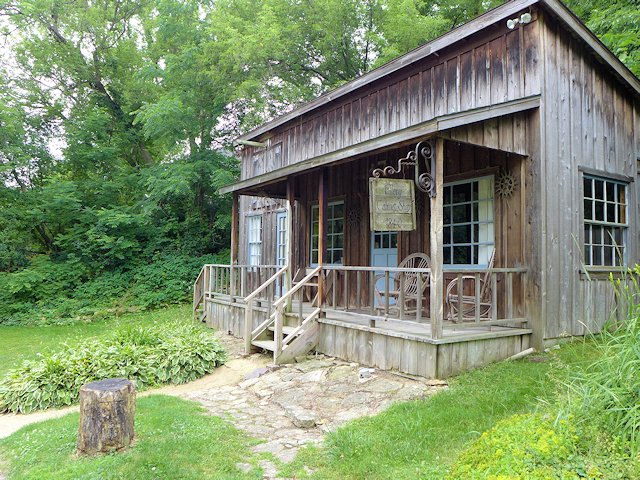
Shake Rag Alley
In addition to preserving several historic buildings that was the heart of early Mineral Point, Shake Rag Alley is an arts education center offering workshops and classes are offered in a wide variety of arts and crafts. In the summer they offer day camps and programs especially for young people.
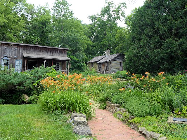
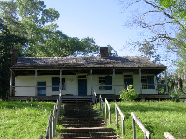
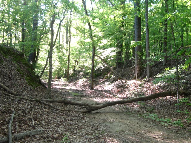
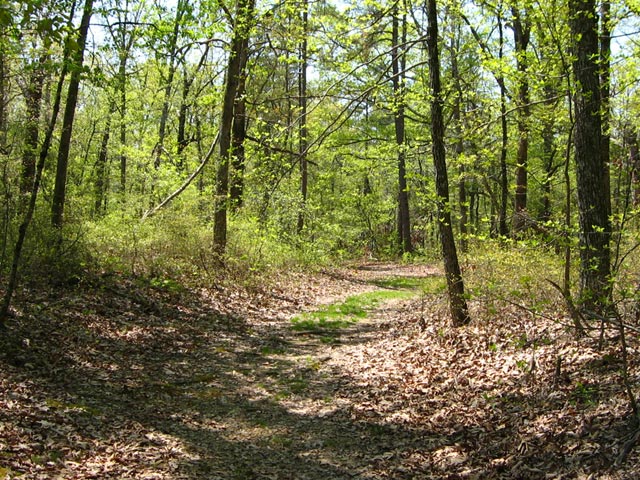
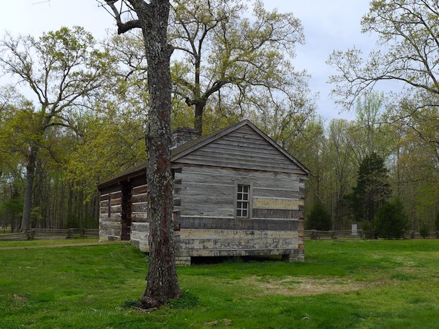
Pendarvis Historic Site
The Wisconsin Historic Society offers narrated tours, with costumed interpreters, of the buildings, artifacts and gardens of the 5 acre historic site. Pendarvis is open Thursday through Sunday, June 1 to October 15th. Guided tours are available 4 times a day or at other times you can do a self-guided tour.
Fourth of July Celebration
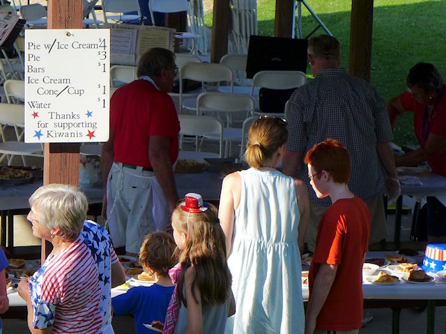
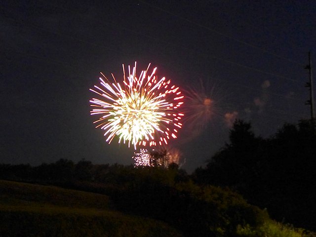
A rarity these days, the annual Independence Day celebration is always held on the 4th itself. It is an “old school” day-long and evening celebration featuring a Parade, an Ice Cream & Pie Social, a Community Band Concert, a Softball Tournament, and Fireworks.
High & Commerce Street Galleries
Several interesting galleries, shops, and pubs line both High & Commerce Streets. Check out a list of artisan shops, boutiques, studios, and specialty retail.
Mineral Point Restaurants & Pubs
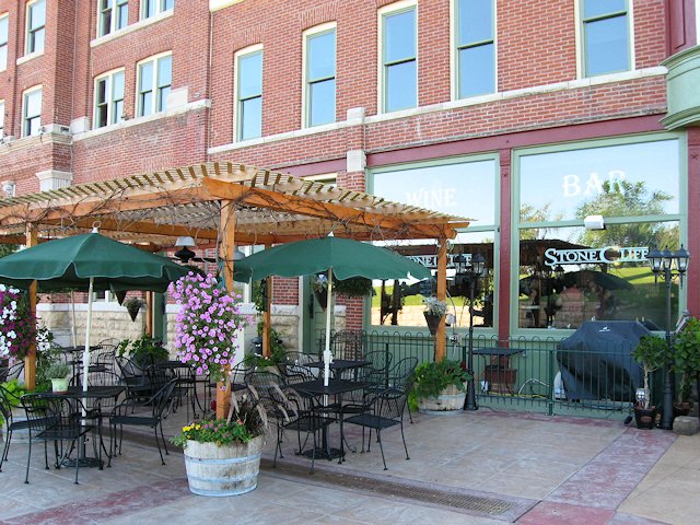
One of Mineral Point’s most popular places to eat, according to Zomato Reviews, is Brewery Creek Pub (see our review here) on south Commerce Street near the old Depot.
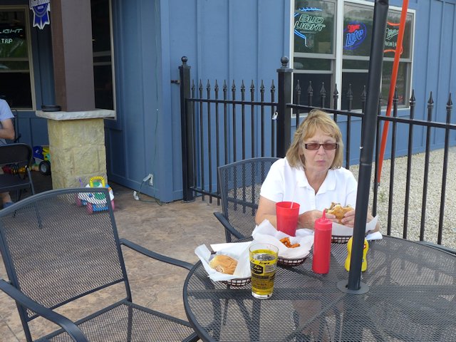
Other highly rated places to eat and drink are Tequila Point and the Gray Dog Deli both on High Street. We’ve eaten a few times at Tony’s Tap Bar & Grill also near the Depot and although nothing fancy about the menu, the food and prices were decent and they gave us attentive, friendly service. Nice outdoor patio too.
Mineral Point WI Visitor Links
- Pendarvis Historical Settlement
- Shake Rag Alley
- Gray Dog Deli
- Tony’s Tap & Grill
- Brewery Creek Pub Restaurant – Review
- Hooks Cheese Company
- Mineral Point Chamber of Commerce
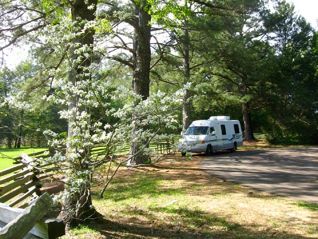
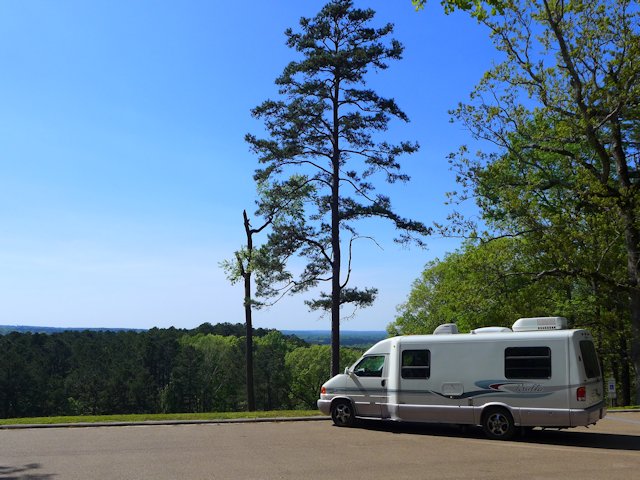
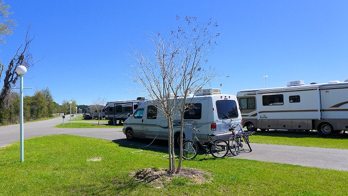
- Camping Iowa County Fairgrounds
Links: Driftless Area Scenic Drives
- Scenic Drive – Mineral Point to Shullsberg
- Hwy 69 Monroe to New Glarus
- Visiting Monroe Wisconsin
- Visiting Shullsburg Wisconsin
Cheese Country Travel Map & Article Directory